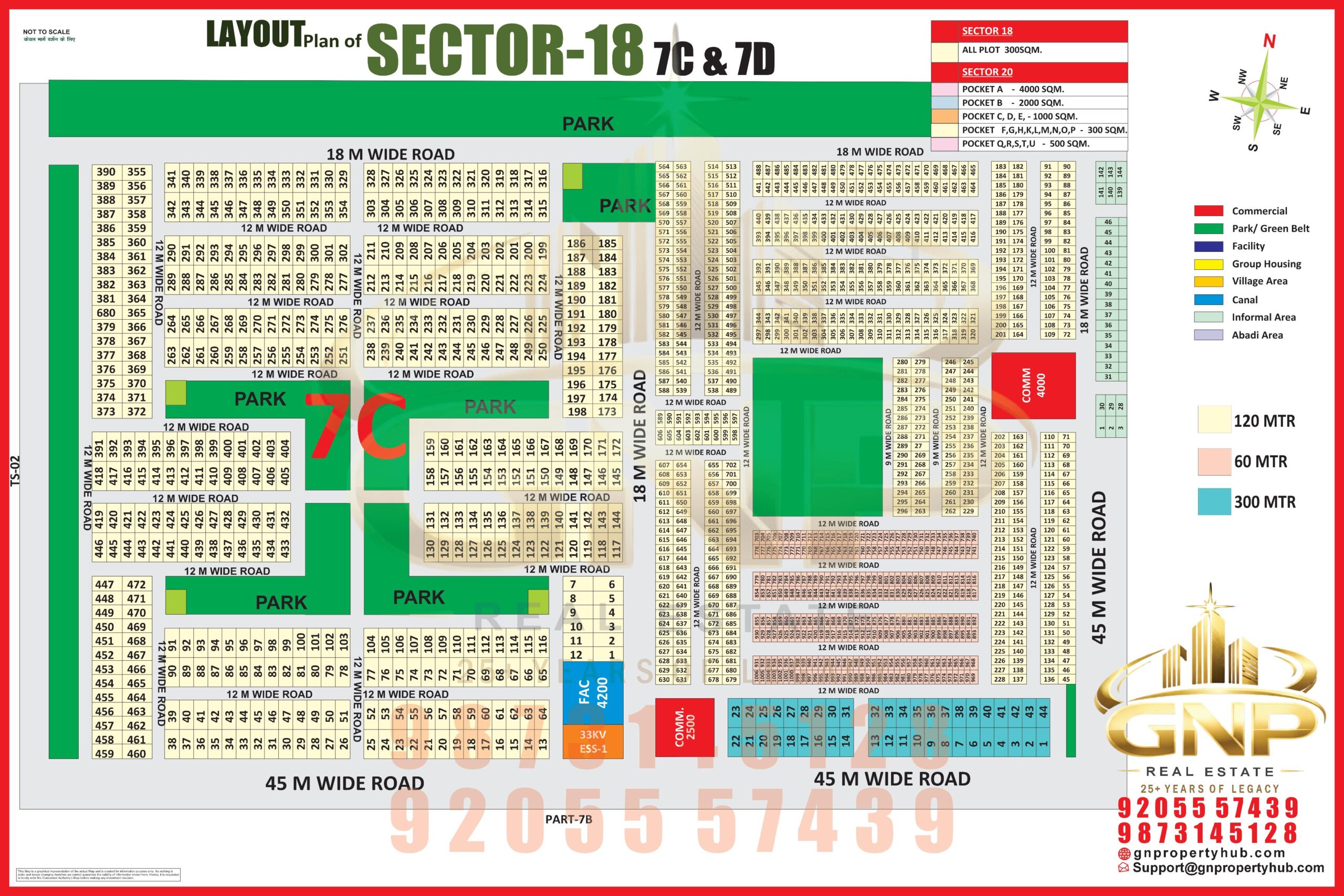
dmic greater noida map pdf
DMIC Greater Noida Map PDF: Route, Location, Township Layout & Property Investment Guide (2026)
By Manveer Singh
Real Estate Author & Greater Noida Property Expert
20+ Years of Experience
Greater Noida residential property, property buying guidance, locality research and real estate market analysis.
GN Property Hub
Website: https://gnpropertyhub.com/
Phone: +91 98731 55128
Email: Hello@gnpropertyhub.com
DMIC Greater Noida Map PDF – Official Map Download
If you are searching for the DMIC Greater Noida map PDF, the most useful starting point is the official Integrated Industrial Township Greater Noida (IITGNL) website. It publishes township layout information, announcements and planning-related documents.
You can refer to these official resources:
- View the IITGNL official website
- Open IITGNL announcements and layout-related documents
- View the Integrated Industrial Township PDF hosted on IITGNL’s document portal
- View the NICDC Integrated Industrial Township project details
The IITGNL-hosted PDF contains a revised site layout plan showing land-use blocks, internal roads, surrounding villages and important connectivity features. However, before using any downloaded map for a property transaction, check the latest approved layout and its revision date on the official IITGNL website.
Important: A township layout PDF is not the same as the complete DMIC regional master plan or the Greater Noida Authority’s city master plan. Make sure you are checking the correct map for your purpose.
What Is DMIC Greater Noida?
DMIC stands for Delhi-Mumbai Industrial Corridor. It is a major industrial and infrastructure development initiative intended to strengthen manufacturing, logistics and trade connectivity across several regions.
In Greater Noida, one important development associated with DMIC is the Integrated Industrial Township, Greater Noida (IIT-GN). It is managed through DMIC Integrated Industrial Township Greater Noida Limited (IITGNL).
According to the National Industrial Corridor Development Corporation (NICDC), the township covers approximately 747 acres and is located southeast of Greater Noida. It is close to the Eastern Peripheral Expressway and Delhi-Howrah railway line.
The township is planned to support industrial and commercial activity, with sectors including:
- White goods manufacturing
- Electronics
- Mobile manufacturing
- Biotechnology
- Research and development
- General engineering
For property buyers, it is important to understand that DMIC is a wider industrial corridor initiative. The Integrated Industrial Township is a specific development within that larger framework.
Where Is DMIC Integrated Industrial Township Located?
The Integrated Industrial Township is situated in the southeastern part of Greater Noida, in the Dadri-Noida-Ghaziabad Investment Region (DNGIR) area.
Its location is strategically connected to major road and railway infrastructure. NICDC identifies the Eastern Peripheral Expressway and Delhi-Howrah railway line as important connectivity features.
The official IITGNL information also places the township approximately 11 km by road from Pari Chowk.
Key location references
| Location / infrastructure | Relevance |
|---|---|
| Pari Chowk | Around 11 km road distance, as stated by IITGNL |
| Eastern Peripheral Expressway | Along the township’s southern side |
| Delhi-Howrah railway line | Runs alongside the township |
| Ajayabpur Railway Station | Near the eastern edge of the site |
| Dadri Railway Junction | Approximately 9.5 km, according to IITGNL |
| Boraki | Proposed integrated transit facility in the wider area |
| Dadri | Important logistics and railway location |
Distances are indicative and depend on the exact starting point and route. Check the current road route before planning a visit.
How to Read the DMIC Greater Noida Map
The official township layout is useful because it shows more than the location of the project. It also gives an overview of the land-use arrangement and road network.
When opening the PDF, look for these features:
1. Industrial land-use areas
The township has designated industrial areas intended for manufacturing and related activities. The map identifies industrial zones and different plot areas.
These are not automatically residential plots. Anyone considering a land purchase must verify the permitted land use and allotment conditions.
2. Residential and group housing areas
The township layout includes residential group housing and EWS housing provisions. These areas should not be confused with private residential colonies or independent residential plots outside the township.
If you are evaluating an apartment project, verify the exact plot location, land-use permission, sanctioned plan and applicable RERA registration.
3. Commercial and mixed-use areas
Commercial and mixed-use land is intended for activities permitted under the approved planning framework. The actual permitted use should be confirmed from the relevant allotment and planning documents.
4. Green spaces and open areas
The layout identifies green and open spaces. These areas contribute to the planned township structure, but buyers should not assume that every green patch shown in an older PDF remains unchanged.
Always compare the map revision with the latest approved layout.
5. Internal roads and external connectivity
The map shows the internal road network and potential connections to surrounding infrastructure. Some connections may be proposed or planned rather than fully operational.
Do not treat a proposed road, railway connection or transit facility as an existing facility without checking its present status.
DMIC Greater Noida Township: Land-Use Details
An IITGNL-hosted group housing scheme document describes the township’s broad land-use distribution.
| Land-use category | Share stated in the document |
|---|---|
| Industrial | 50.78% |
| Commercial / Mixed Use | 5.83% |
| Residential Group Housing and EWS Housing | 11.13% |
| Green and open space | 15.76% |
These figures are from the cited township document and should be treated as document-specific planning information, not as a substitute for the latest approved layout. The figures listed above are not intended to represent every land-use category in the township.
DMIC Greater Noida Connectivity: Roads, Railway and Logistics
Connectivity is one of the main reasons the Integrated Industrial Township attracts attention from businesses, investors and property researchers.
Eastern Peripheral Expressway
The township is located alongside the Eastern Peripheral Expressway. This provides an important road connection for movement around the wider NCR region.
The actual travel time depends on the entry point, destination and traffic conditions.
Delhi-Howrah Railway Line
The Delhi-Howrah railway line runs alongside the township. Ajayabpur Railway Station is located near the eastern periphery, according to IITGNL information.
The railway line is an existing infrastructure feature. However, buyers should separately verify passenger train services and station facilities before relying on them for daily commuting.
Boraki Multi-Modal Transport Hub
Boraki is an important proposed transit development in the wider Greater Noida region. IITGNL material refers to an integrated transit facility at Boraki.
A proposed transit hub should not be advertised as a fully operational metro or railway interchange unless the relevant authority confirms that status.
Dadri Logistics Hub
Dadri is an important railway and logistics location in the region. The wider industrial development strategy is intended to strengthen logistics and manufacturing connectivity.
For businesses, this may be relevant to freight movement and supply chains. For residential buyers, the practical benefit depends on employment generation, actual transport access and local social infrastructure.
DMIC Greater Noida Map and Its Importance for Property Buyers
A map can help buyers understand the wider development area, but it cannot independently establish whether a property is legally safe or suitable for residential use.
Before paying a booking amount or token money, check the following:
- Exact location: Match the property address with the official map and site coordinates.
- Land use: Confirm whether the plot is approved for residential, industrial, commercial or another permitted use.
- Ownership: Verify the title documents and ownership chain.
- Authority approval: Check the applicable allotment letter, lease deed and sanctioned layout.
- RERA registration: For a project covered by RERA, verify its registration and approved details on the UP RERA portal.
- Access road: Confirm whether the road is existing, approved, proposed or merely shown in marketing material.
- Possession and development: Verify the current physical status instead of relying only on a brochure or map.
- Outstanding dues: Check authority dues, maintenance charges, taxes and other liabilities.
A map is a planning reference. It is not proof of ownership, title clearance, project approval or possession.
Is DMIC Greater Noida a Good Location for Property Investment?
The industrial and logistics development around Greater Noida may support long-term economic activity. However, that does not mean every nearby property will automatically appreciate.
The investment case depends on several factors:
- Actual industrial investment and operational businesses
- Employment generation and workforce demand
- Completion of proposed infrastructure
- Residential social infrastructure, including schools, hospitals and markets
- Legal status and permitted land use of the property
- Purchase price compared with similar properties
- Rental demand and resale liquidity
Buyers should distinguish between an industrial investment opportunity and a residential property investment. A location near an industrial township is not necessarily suitable for family living.
If your purpose is residential use, check the surrounding environment, daily commute, noise, air quality, schools, healthcare and access to essential services.
DMIC Greater Noida and Godrej’s Proposed Residential Development
The DMIC Integrated Industrial Township has also received attention because of Godrej Properties’ announced land acquisition.
In June 2026, Godrej Properties announced that it had won a bid for a 23.2-acre residential land parcel within the DMIC Integrated Industrial Township, Greater Noida. The company stated an estimated revenue potential of more than ₹7,000 crore for the proposed development.
This announcement is relevant to people researching the township and its residential potential. However, the announced revenue potential is a company estimate, not a guaranteed return for property buyers.
Before considering any project marketed in this area, independently verify its official project name, approved configuration, price, RERA registration, payment plan and possession timeline. Do not rely only on third-party advertisements.
DMIC Greater Noida Map PDF vs Greater Noida Master Plan
These maps serve different purposes. Choosing the wrong document can lead to confusion.
| Map / document | What it helps you understand |
|---|---|
| DMIC / IITGNL site layout | Township land use, internal plots, roads and layout |
| DNGIR Master Plan | Wider investment-region planning and development framework |
| Greater Noida Master Plan | Broader city planning and sector development |
| GNIDA GIS / OneMap | Geographic information and mapped city-level features |
For city-level geographic information, you can also visit the Greater Noida OneMap portal.
For township-specific information, refer to IITGNL and NICDC rather than relying on an unverified map circulating on property websites or social media.
Frequently Asked Questions About DMIC Greater Noida Map PDF
1. Where can I download the DMIC Greater Noida map PDF?
You can check the official IITGNL website and its announcements section for township layout documents. The IITGNL-hosted group housing scheme PDF also contains a revised township site layout plan.
2. What is the full form of DMIC?
DMIC stands for Delhi-Mumbai Industrial Corridor, a major industrial and infrastructure development initiative.
3. Where is the DMIC Integrated Industrial Township in Greater Noida?
It is located southeast of Greater Noida, near the Eastern Peripheral Expressway and Delhi-Howrah railway line.
4. How far is DMIC township from Pari Chowk?
IITGNL states that the township is approximately 11 km by road from Pari Chowk. The actual distance and travel time may vary by route and destination.
5. Is the DMIC Greater Noida map the same as the DNGIR master plan?
No. The IITGNL layout focuses on the Integrated Industrial Township, whereas the DNGIR master plan covers a wider investment region.
6. Does the DMIC map show residential plots?
The township layout identifies residential group housing and EWS housing areas. It should not be interpreted as a list of freely available residential plots. Check the relevant authority scheme and land-use documents.
7. Is the Boraki Multi-Modal Transport Hub operational?
IITGNL material describes Boraki as a proposed integrated transit facility. Check the latest official announcements for its current development and operational status.
8. Can I buy a residential plot inside the DMIC township?
Do not assume that a plot is available for ordinary residential purchase just because it appears on a map. Check the applicable land-use category, authority allotment scheme, transfer conditions and legal documents.
9. Is property near DMIC Greater Noida a good investment?
It may be worth researching because of the area’s industrial and logistics development. However, investment suitability depends on the specific property’s legal status, price, location, infrastructure and resale or rental demand. Appreciation is not guaranteed.
10. Where can I verify the official township layout?
Use the IITGNL official website and the NICDC project page. Check the document date and revision before relying on it.
Final Words
The DMIC Greater Noida map PDF is a useful resource for understanding the Integrated Industrial Township’s location, land-use arrangement and connectivity. But buyers should not make a property decision based on a map alone.